Route Map: 15 Mile Hut and Mount Duffy
Route Map: 15 Mile Hut and Mount Duffy
Couldn't load pickup availability
Do you find knowing where to explore difficult and daunting sometimes? Let us help you find that next adventure with one of our pre-explored route maps!
Our route maps are journeys that we’ve taken, sometimes videoed sometimes not, and are always family friendly with various sights and activities along the way. We provide an overview and history of the area, overlay of the route on a map, and turn by turn instructions with distances, and track names to make it easy!
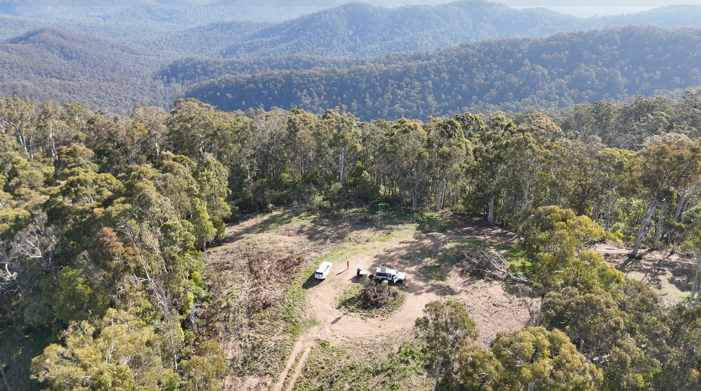
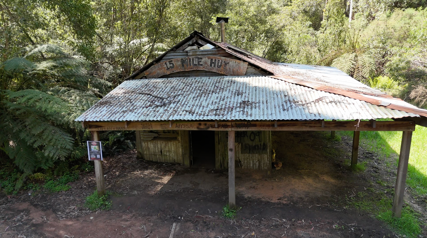
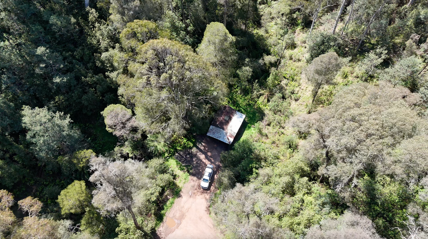
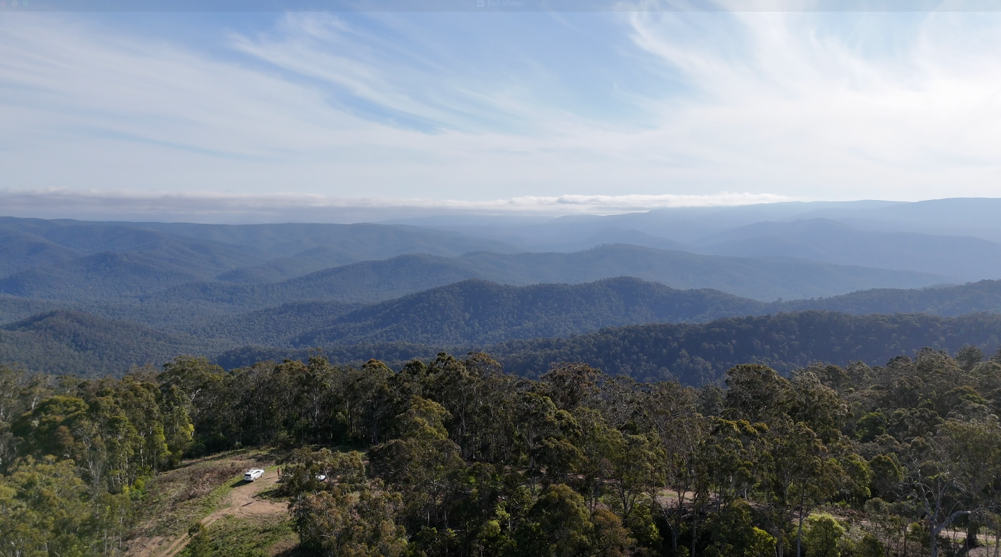
Join us on this adventure as we explore the Big River region in Victoria and make our way to 15 Mile Hut and Mount Duffy.
- Difficulty: Easy with Medium Sections
- Affected by Seasonal Closures: No
- Length: Approximately 70km
- Time Required: Whole Day
- Video: https://youtu.be/Xnaz3bSe0vU
- Route Last Updated: October 2024
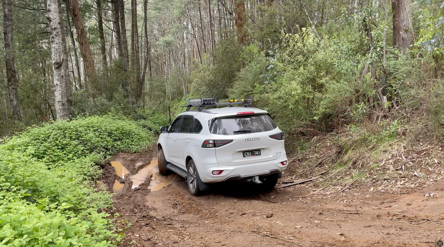
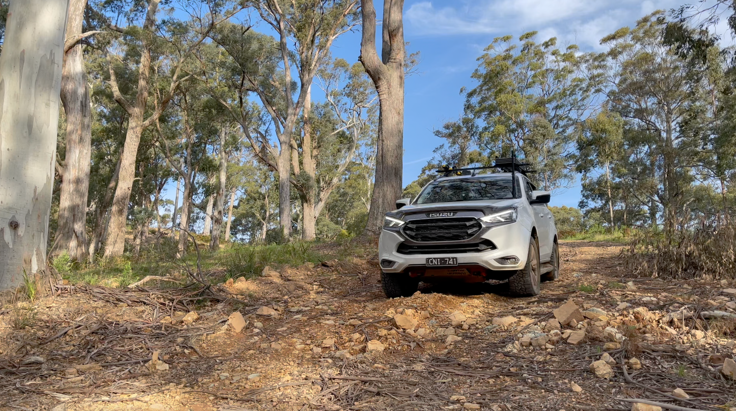
The trek to 15 Mile Hut and Mount Duffy makes for a great day trip for those who want an easy going day with a few medium but fun sections - even if it’s been a bit wet and muddy!
This route starts from the Cambarville Picnic Ground, approximately 20kms from Marysville. Nearby to the area are some other great attractions such as Steavenson Falls, Cora Lynn Falls, Cumberland Falls, and The Big Culvert. Throughout the journey you’ll be taken through lush rain forest, to the spectacular views from the ridgelines and peaks of Mount Duffy.
Share
